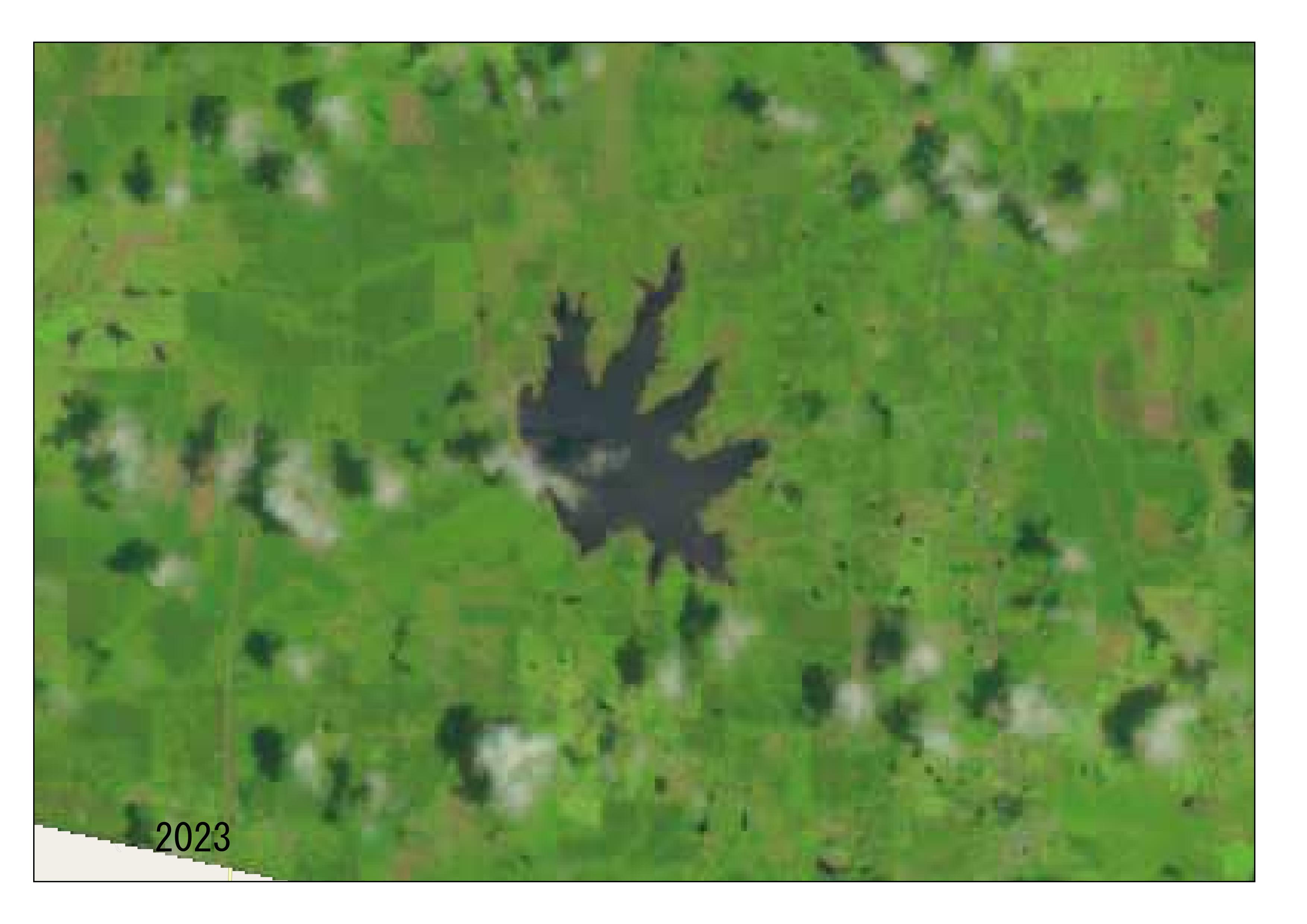
Ok, I’ll map nerd here again. Let’s look at Lake Monticello from the air today. First I’ll look at it from Landsat Satellite. For those unaware, Lake Monticello was drained for levee repairs and while the lake was drained the Arkansas Game and Fish Commission (AGFC) has done a bunch of habitat work on the lake. And as the lake is refilling now the AGFC is restocking the lake. You can watch the video update on everything from the AGFC here.
Now for the satellite stuff I said was coming.
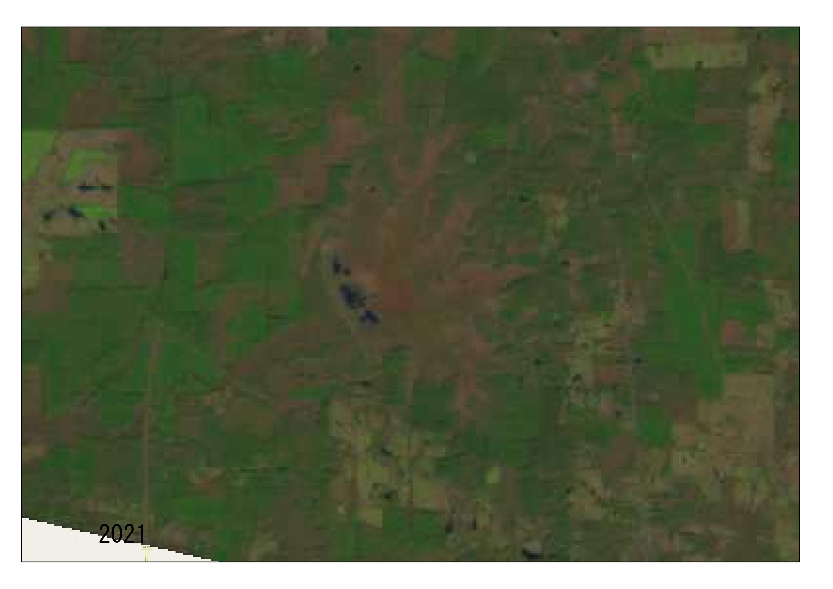
Now let’s go back a few years.

Now as I was thinking on this update my friend Bennie Ryburn texted me these pictures he took while flying over the lake last week. I really appreciate his sharing these pictures, he knows how much I enjoy the lake and seeing some good pictures!


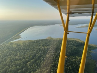

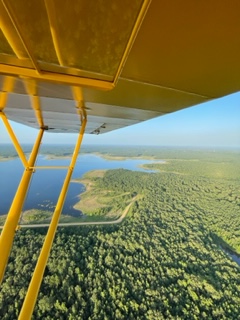
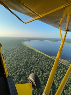
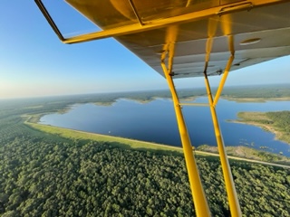
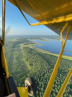
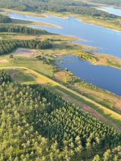
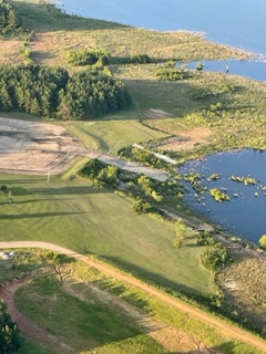
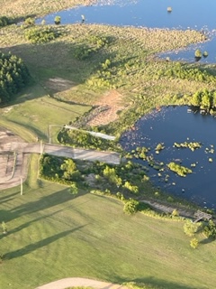
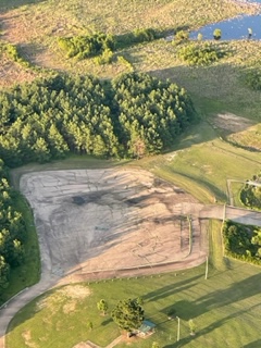
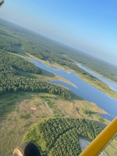

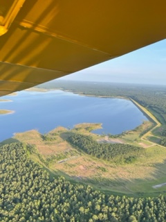
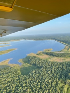
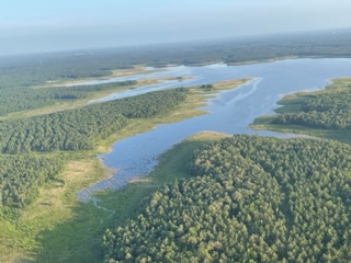
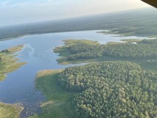
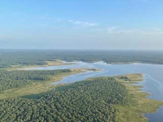
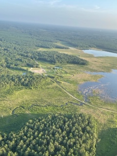
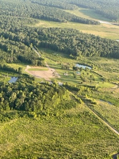
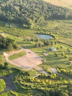
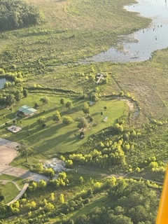
Thank you sir for sharing these awesome pictures and letting me use them here!
Like This? Check out a post from my friend Keith Wallis:

I want to say thanks for stopping by to read my ramblings. To say thanks more I have a few free phone wallpapers here.
Please do me a favor, if you enjoyed the post please share it with a friend.
Thank So Much! -Michael

3 thoughts on “Lake Monticello”